Camping de la Frette **
Tergnier
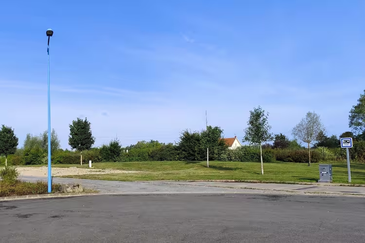

Équipements et services
Description
Tourisme
Tergnier (Aisne, France)
Tergnier is an industrial town in the Oise basin, marked by its railway history and its role in reconstruction after the First World War. Located a few kilometres from Saint-Quentin, it developed in the 19th century around workshops and railway lines. Today, Tergnier retains a mix of industrial traces and green spaces along the waterways. It is a convenient stop for those exploring the southern part of the Aisne department.
Heritage and history
The industrial memory is visible in the urban layout and a few buildings related to railway activity. The town was heavily affected during the Great War, then rebuilt in the interwar period, which explains some facades and developments dated to the 1920s–1930s. The working-class and railway heritage remains an important identity element, evoked by local signs and monuments.
Architecture and urban planning
Tergnier features neighbourhoods from different development phases: 19th-century workers' houses, public buildings from the interwar period and more recent constructions. One can observe an urban pattern linked to the railway lines and former industrial zones, offering a contrast between industrial volumes and small residential streets.
Nature and landscapes
The town borders the Oise River and is near the Saint-Quentin Canal, offering banks suitable for walks and cycling. Green spaces and quays invite relaxation and fishing. The surrounding countryside is typical of the Picardy landscape: agricultural plains punctuated by small woods.
Outdoor activities and access
Tergnier station remains a useful rail hub for getting to Saint-Quentin and northern Picardy. On site, walks along the waterways, cycling routes and fishing are common activities. The town’s location makes it a practical base for discovering the region without major transport constraints.
Not to miss
- Tergnier station: an important railway junction and a central element of local history.
- Banks of the Oise / Saint-Quentin Canal: walks, fishing and cycling routes.
- War memorials and commemorative plaques: traces of reconstruction after the First World War.
- Working-class districts: observation of urbanism and industrial-era facades.
- Saint-Quentin (nearby): to complement the visit with museums and denser heritage.