
Area of Saint-Pierre-de-Cernières
Eure, Normandie
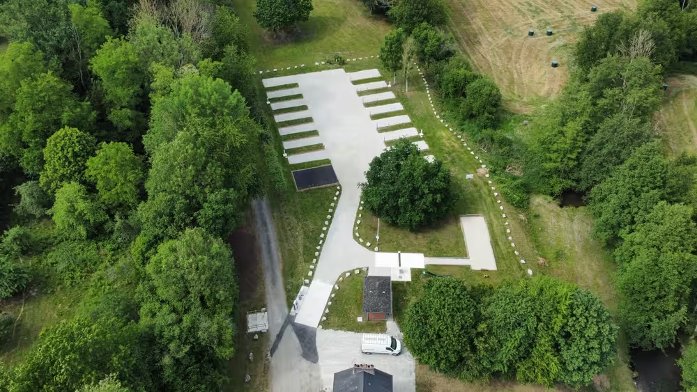
Illustrative photos
Address and Directions
A site designed and equipped by

Specialist in connected self-service sites.
Description
Tourism
Saint-Pierre-de-Cernières (Eure, France)
Saint-Pierre-de-Cernières is a small rural commune in the Eure department, in Normandy. The landscape is marked by fields and hedgerow bocage, with a population scattered around the village. The atmosphere remains decidedly countryside: quiet, slow-paced and agricultural life visible along secondary roads. It is an unobtrusive starting point for those who want to explore the Eure countryside.
Heritage and history
The village name suggests a religious and medieval origin. There are traditional rural buildings and traces of an old agrarian landscape, such as farms and sunken lanes. Local archives and war memorials reflect the commune's history in the 19th and 20th centuries. Parish churches and calvaries are present in many neighboring villages, offering a network of religious heritage to discover.
Nature and landscapes
The commune lies within a Norman bocage context: meadows, small hedges and orchards punctuate the territory. Country roads invite walking or cycling, and the observation of the seasons — flowering, harvests — is very readable. The proximity of rivers and nearby woods brings variations in relief and vegetation depending on direction.
Outdoor activities
Hiking and cycling are the easiest activities to practice from the village. The surrounding countryside is also suitable for landscape photography and observing local wildlife. Neighboring villages sometimes offer markets or local events in season, useful for immersing oneself in rural life.
Not to miss
- The village: a rural atmosphere representative of inland Normandy.
- The bocage lanes: walking routes to discover landscapes and hedges.
- Traditional farms: see local agricultural architecture in operation.
- Neighboring villages: starting points for markets, cafés and small visits.
- The agricultural seasons: harvests and orchards offer changing landscapes through the year.
Assistance
A question, a problem or feedback to share? Our team will reply.