Logo

Melchiro Donnet

Sisteron

Camping-cariste

Adresse

16 Cours Melchior Donnet
04200 Sisteron
Alpes-de-Haute-Provence, Provence-Alpes-Côte d'Azur
France
Réservation
Impossible. Vente uniquement sur place

Tarifs

Parking
8 /24h
dont 1€ de taxe de séjour

Nombre d'emplacements

Total
10 places

Liens utiles

Sisteron The Provençal Alps | Tourist Office

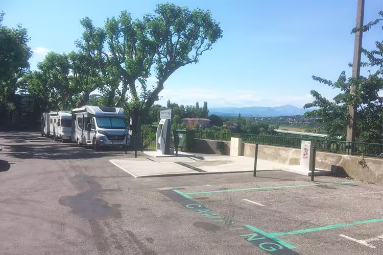
Équipements et services

Raccordement électrique
Prises 16A
Vidange
Stationnement
Ravitaillement en eau
Éclairages nocturnes
Poubelles
Moyens de paiement
CB avec insertion
CB sans contact
Prix complémentaires
Electricity
2 /1h
Drinking water
3 /10min

Description

At 485 m altitude, this motorhome area in Sisteron, located "between Marseille, Grenoble and Nice", welcomes you warmly with electrical hookup, waste-water disposal, parking and water refill. The climate blends Mediterranean and Alpine influences, and the town, labeled "Plus beaux détours en France" and "Station verte de vacances", benefits from the confluence of the Durance and the Buëch, popular for trout and other river fishing. From the area, set off on foot, on horseback or by bike on GR long-distance paths crossing fields, meadows, wooded hills and rocky ridges with the Alps as a backdrop, or lose yourself in the alleys, vaulted lanes and fountains of old Sisteron where local shops, cafés and restaurants abound. On the lavender route and the Way of St. James, the region offers authentic nature and local flavors — Sisteron Label Rouge lamb, AOC olive oil, almonds, truffles, honey and goat cheese — with Entrepierres at ~10 km, Salignac at ~10 km and Bevons at ~12 km; easy access via A51, RN85 (Route Napoléon) and RN100.

Tourisme

Sisteron (Alpes-de-Haute-Provence, France)

Sisteron stretches along the Durance, nestled against the limestone massif of the Rocher de la Baume that towers over it. The town serves as a threshold between Provence and the Alps, with heritage visible from the river up to the heights. Medieval history is felt in the narrow streets and the military presence in the Citadel that watches over the town. The atmosphere combines local shops, markets, and a moderate level of tourism.

Heritage and history

The urban landscape is dominated by the imposing Citadel of Sisteron, reachable by ramparts and offering views over the valley. The historic center preserves narrow streets, old façades, and the Cathedral Notre‑Dame‑des‑Pommiers, visible from the town. The old bridge over the Durance and the remains of the fortifications recall the site’s strategic importance.

Nature and landscapes

The contrast between the river and the limestone cliffs creates crisp, photogenic panoramas. The Rocher de la Baume is a geological landmark, while the Durance valley opens views onto the Provençal hills and the first alpine foothills. Morning and evening light accentuate the ochres and greys of the rock.

Outdoor activities

The region offers short hikes around the rock, walks along the Durance, and cycling routes on the valley roads. Geology and photography enthusiasts will find varied subjects, and local guides sometimes organize guided visits of the citadel.

Not to be missed

  • Citadel of Sisteron: fortress overlooking the town, panorama of the valley.
  • Cathedral Notre‑Dame‑des‑Pommiers: remarkable building in the historic center.
  • Rocher de la Baume: emblematic cliff visible from the Durance.
  • Old bridge on the Durance: picturesque presence between the old town and the riverbanks.
  • Riverside walks: promenades offering views and tranquility along the Durance.

Points d'intérêt

Qipeo © 2025 - Une solution développée par AireServices
Espace Administration

4 Rue Victor Schoelcher, 29900 Concarneau, Bretagne, France